

Snow is on its way to the Alps
It’s been a wild week or two for Alpine ski resorts with high temperatures and rain. But Sunday will see the end of the European ‘winter heatwave’ and bust the heat dome that’s been hanging over the mountains.
While the snowline hasn’t dropped just yet (it sits between 1,500m – 1,800m in much of the Alps, higher in the northern French Alps) the temperature is set to fall on Sunday or Monday, and a change in wind – with westerly-northwesterly flow – will bring precipitation. Snow!
Between 20 – 40cm is expected above 1,800m by the end of Monday across the Alps, with the heaviest snow likely to fall at altitude in the northern French Alps, though it likely won’t be enough to recover the low resorts (such as Samoens) that have lost their snow base.
Consistent cold temperatures are needed so that resorts can get onto snow making. It’s a set back as resorts start the process again (that they will have initiated in November) of preparing a base for the rest of winter.
Catch up here on the conditions Christmas and New Year skiers saw:
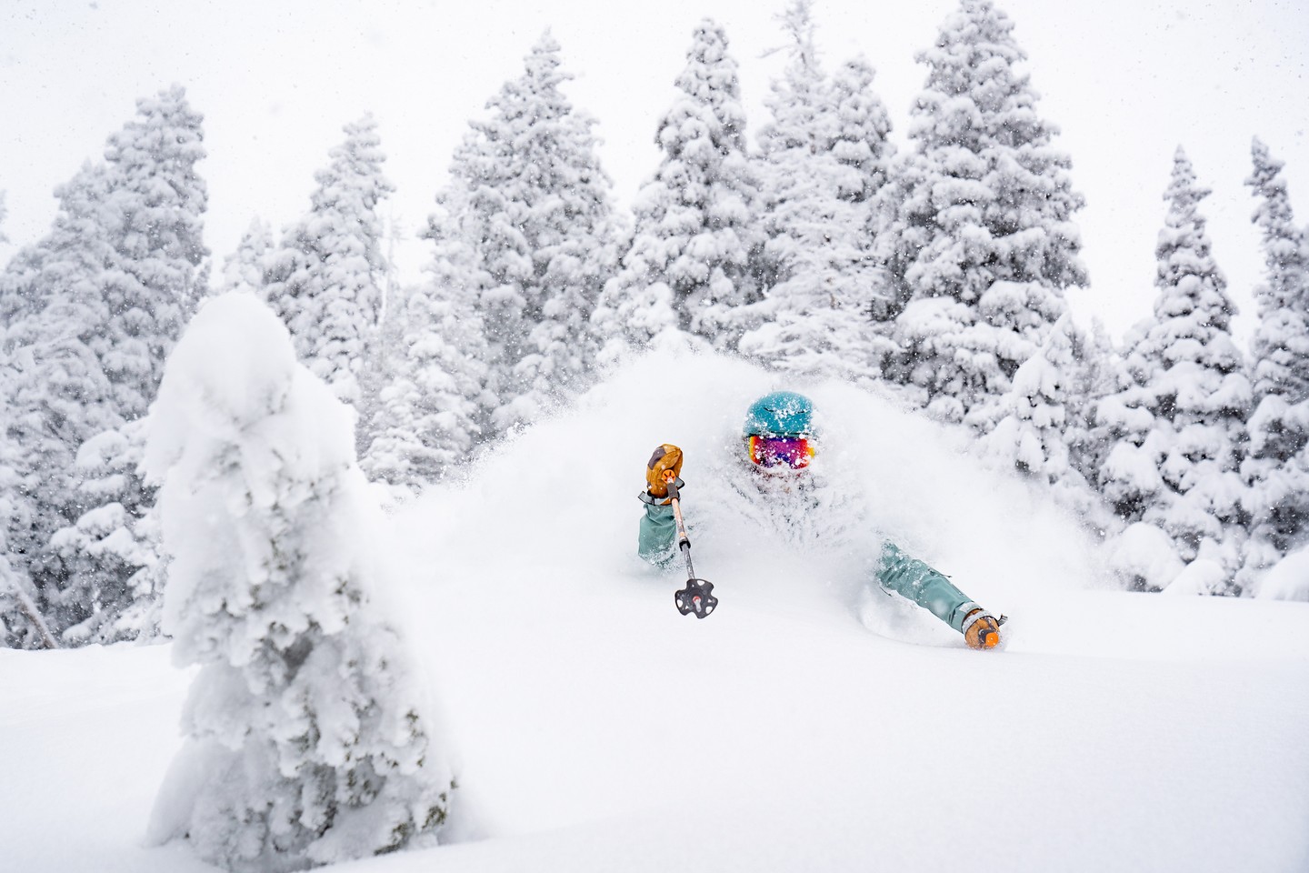
If you need an instant snow fix, check out the footage from friends across the pond who, frankly, have too much to handle. While the good folk at Morzine all muck in to shift snow onto pistes, lift dig out missions and mad grooming sessions are in action in California and Utah resorts to get the snow under control. Alta, UT had a whopping 410cm in December alone…
Here’s hoping we look like this one day soon…
Here’s a handful of weather sites the Fall Line team uses to keep in the loop of all things snow:
- WePowder
- FATMAP Explore (snow depth, lift and piste status)
- Snow-Forecast
- Windy.com
- Meteologix