Fresh snow in the Alps and Pyrenees
Piedmont and the Pyrenees is where the snow's at, heading into spring of Winter '23

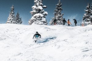
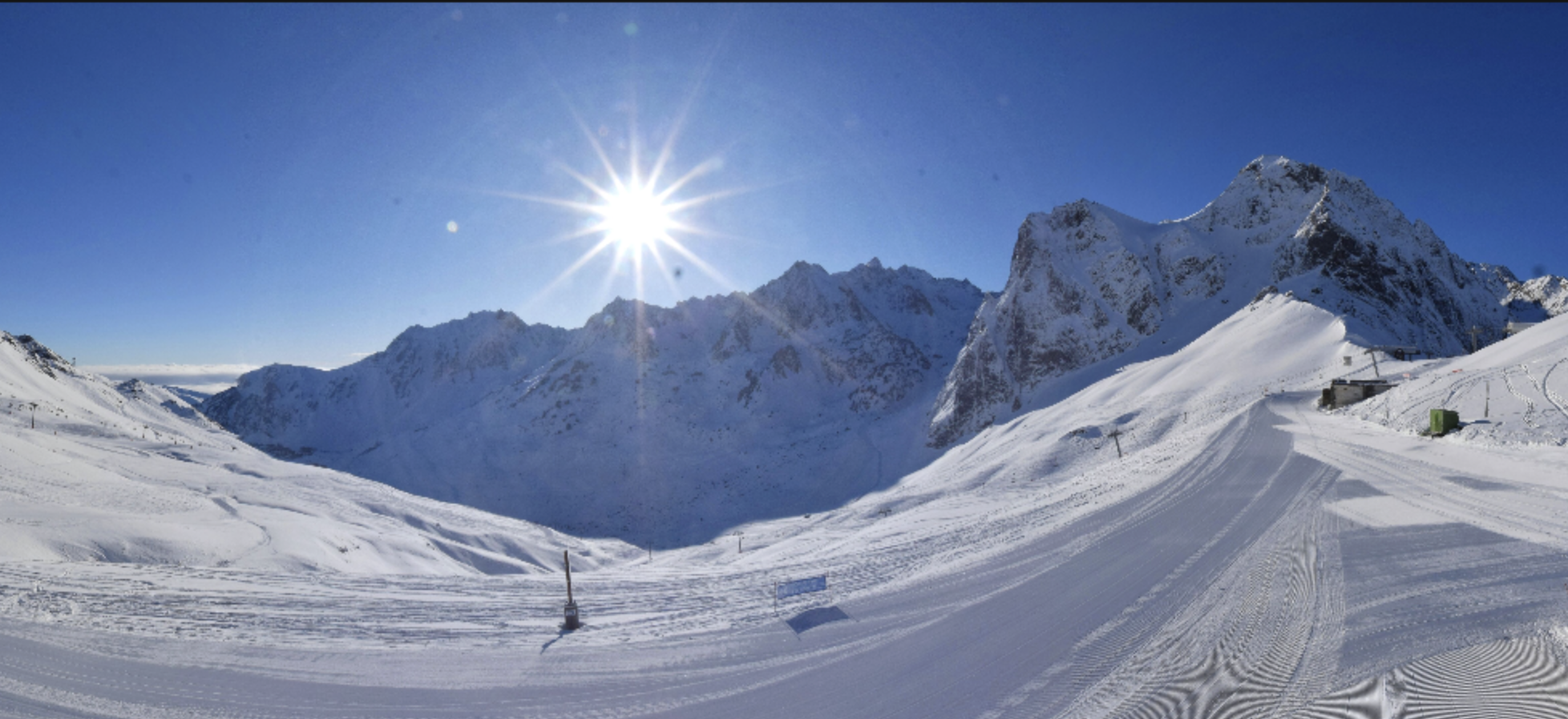
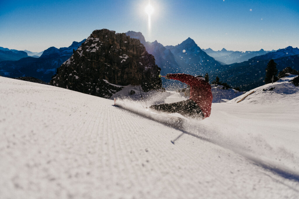
What a winter it’s been in the Alps with, well, plenty of sun… But as February draws to a close and we look at spring skiing in Europe, snow returns. And it’s landed on the Pyrenees (Baqueira, shot above) and Italy’s Piedmont (Piemonte).
The delivery in Piedmont is thanks to retour d’est – an easterly weather front causing an intense period of precipitation around the border of France and Italy. (For an in-depth understanding of retour d’est read WePowder’s article). In short, it’s to do with a proximity to the Mediterranean Sea, a clash of hot and cold air, the flat valley Po and the Alps, all working to maximum effect on the snow front.
Between 40 – 80 centimetres of snow has already fallen in areas of the Piedmont region, with more to come.
The resorts benefitting from this weather front? The Milky Way ski area (Via Lattea) that includes the resorts of Sestriere, Sauze d’Oulx, Claviere, San Sicario and Montgenèvre (which sits just over the border in France), along with Val di Susa, Alagna Valsesia and Prali, which sits just south of Via Lattea and is expecting a daily 10cm+ this week.
Mondolè (Prato Nevoso / Frabosa Soprana / Artesina) even further south in the province of Cuneo saw 39cm fall yesterday, Monday 27 February, on top of its 25cm of fresh from Sunday.
Although snowfall will ease off, it’ll continue to snow lightly. If you check the webcams, there’s pretty much just cloud to see, but it could be nice if you’re arriving later this week. Especially with early March lift ticket prices in the small ski areas of Piedmont – Prali has day passes going for as little as €14 next week.
‘Second phase of snowfall in Piedmont on its way’, says snow forecaster WePowder.
‘… as the low-pressure area continues to spin over the Mediterranean for a few more days, it will likely snow a bit longer, especially in Piedmont. On Wednesday, the snowfall seems to intensify again. According to the European model and the German ICON, some 30-50 centimetres seems to be back with ease, possibly with peaks of up to 70-80 centimetres. Temperatures do rise a bit, though, which means the snowline could steadily rise to around 1,000 metres on Thursday. During the night to Thursday, the rest of the southern Alps may also see some snow, but here it won’t be much more than a couple of centimetres.‘
For the rest of the Alps, the sun returns over the next few days but cold temperatures remain, so there’s no melt fear just yet of the lower-than-average snow depths. Most major resorts are offering pretty good piste skiing on hard packed groomed slopes. But snow is very much needed to improve prospects for the rest of the ’23 season, confirms WeatherToSki.
It’s cold in the Pyrenees, with Spanish, Andorran and French resorts recording temperatures well below zero.
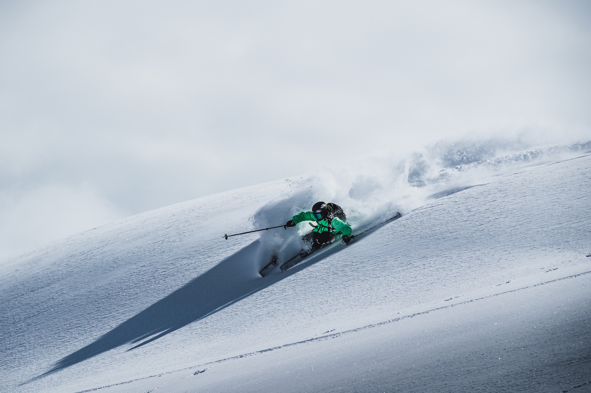
At mid-mountain, mid-day, temperatures are sitting around -10° in Spain’s Baqueira Beret. Check out the proof below, as Val d’Aran local freerider Aymar Navarro makes the most of this week’s fresh powder, along with Andorra’s Grandvalira ski area, reporting 40 – 100 cm of fresh:
While Cauterets in the French Pyrenees has had a top-up this week of 20cm on last week’s 50cm that fell on Friday 24 February, with temperatures well into the negative°s.
Grand Tourmalets is looking fine this morning under the sun – a snapshot from the webcams at 2,115m:
For the rest of the Alps, though, it’ll keep dry for the foreseeable.
‘Temperatures slowly rise again to around normal for the time of year. From Friday, Austria could possibly get some snow again, but it does not seem to be more than a refresher of a few centimetres,’ reports WePowder.
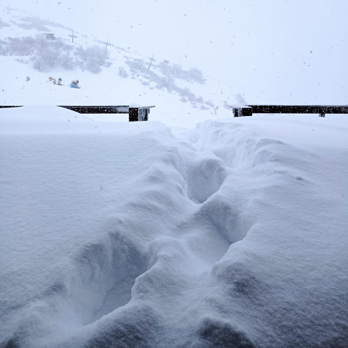
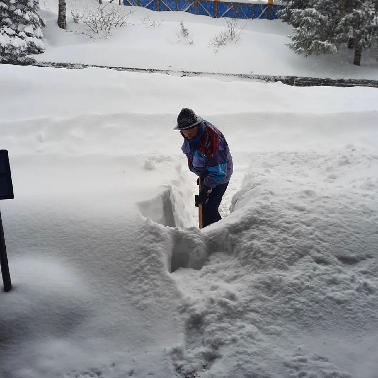
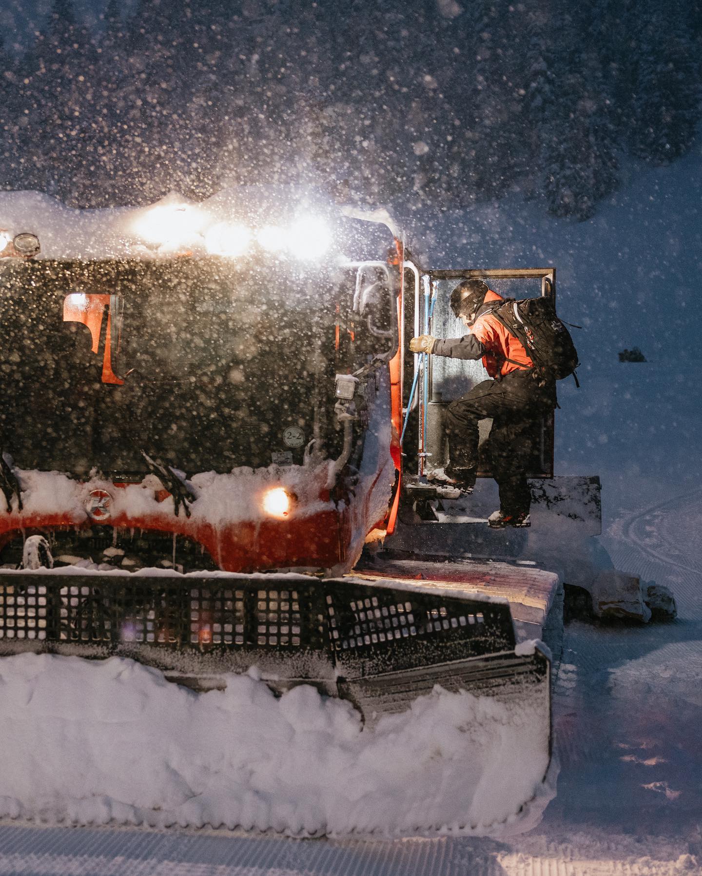
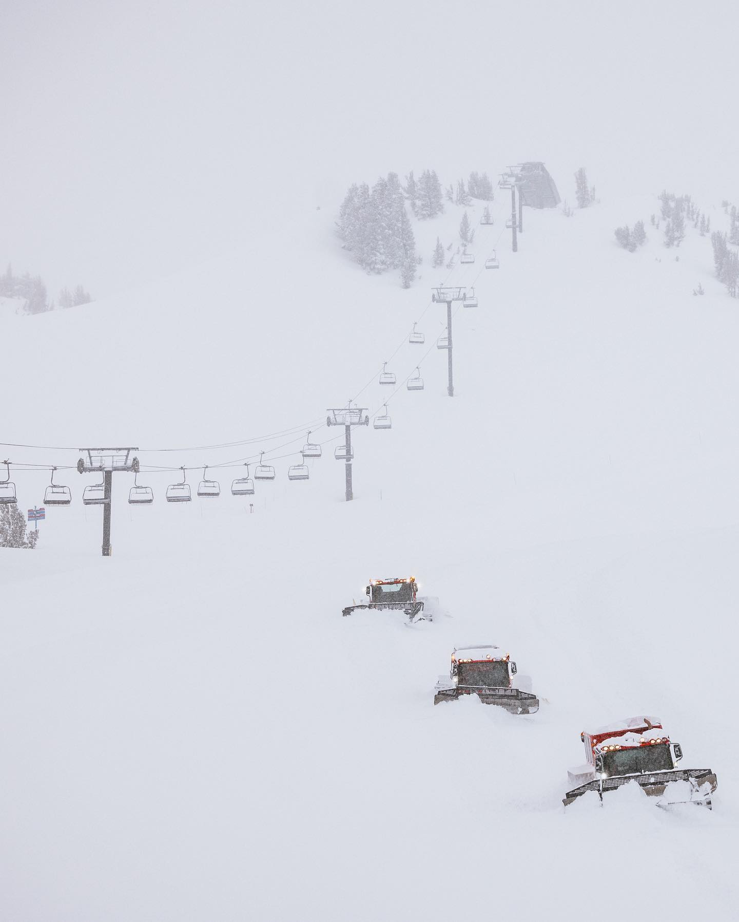
Meanwhile, the wild winter weather in North America is far from over and it’s another deep week in the west of the USA (this weekend Mammoth reported over 90cm+ in 24 hours, though blizzard/whiteout conditions currently prevail). We leave you with a few images from snowier climates…

17th January 2023
24th February 2023
20th February 2023