How to navigate in the backcountry

Navigation is an integral part of everything we do in the mountains – but finding your way on skis is much more difficult than navigating on foot. We travel much faster through the mountains on skis, so it is hard to measure distance accurately.
The quantity of snow varies from year to year and at different points in the season, so the landscape can be difficult to relate to the map. As the Earth warms up, the glaciers are receding and changing so a glacier may be marked on a map but it might no longer be there. In addition, winter weather and conditions can make the visibility change very quickly, and you can go from great viz to whiteout conditions in minutes.
There are key navigational skills that we use time and time again on skis. With a little practice they will become second nature, so you can head off into the wild knowing that whatever weather rolls in you’ll be able to find your way back to a glass of vin chaud at the mountain hut at the end of the day.
If you have been keeping track of where you are and have just lost concentration, you should be able to sort it out quickly. You could even follow your tracks back to the last known position.
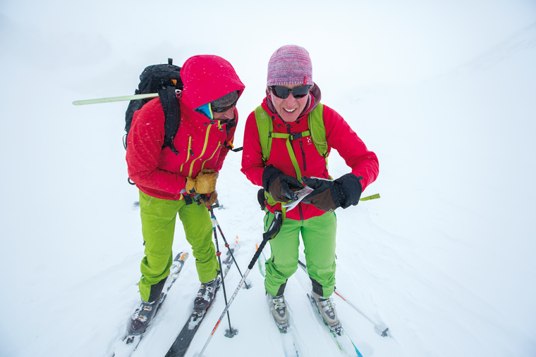
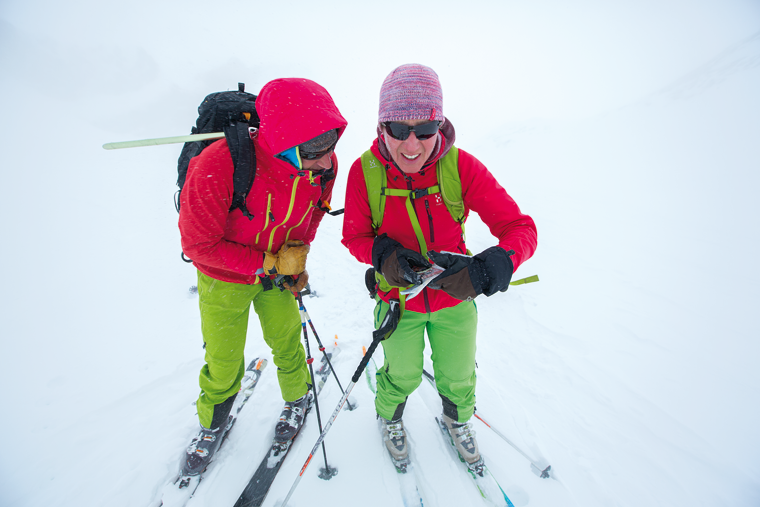
If you have a GPS you can just ask it, then plot that position on the map. If you don’t, or your batteries are flat, you will need to use your map and compass. Look carefully at the terrain around you – even if the visibility is poor you can often gain clues from the landscape; look for features that you can relate to the map.
If you can see a recognisable feature, take a bearing to it, subtract the magnetic variation then place the edge of your compass on the point and rotate the whole unit to line up the lines on the baseplate with the grid lines on your map. You will be somewhere on that line. If you have two known points you can do this again with the second point. Where the bearings intersect is your location; this is commonly known as resection.
If you don’t have known points that you can take bearings from, you can use your map and compass and a technique called ‘aspect of slope’ to home in on your position.
Take a compass bearing down the fall-line, then subtract the magnetic variation and go to your map. Align the lines on the compass housing with the grid lines then move the compass around until the edge of the baseplate is sitting at right angles to the contour lines. You are positioned somewhere on that slope, and you can then use your altimeter to gain a position on that slope.
This is a great technique and is a really useful way of checking if you are about to ski down the right slope at the beginning of a descent.
There are many occasions where you can see some big features around you but the immediate landscape is difficult to read.
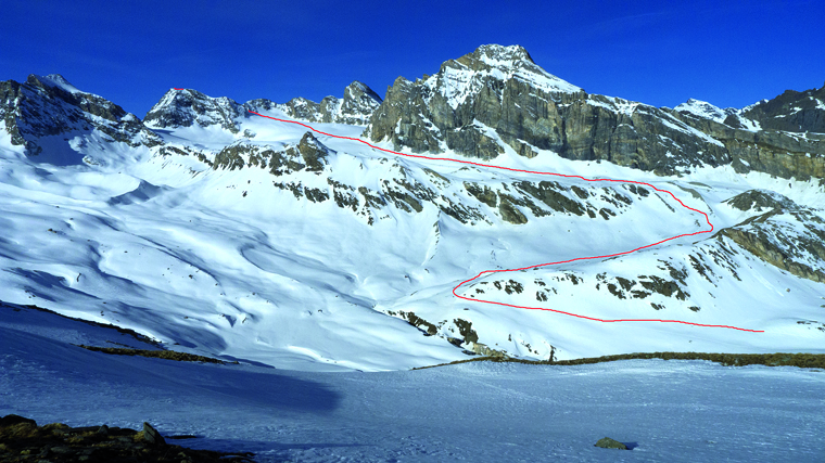
You can use these features as ‘handrails’; a classic example would be skinning up the Punta Calabre above the Benevolo hut. The initial ascent follows the edge of a river, you then head up a shallow valley towards a set of cliffs. You can now handrail the bottom of these cliffs until they change direction (this point is pretty easy to spot). You then take a bearing for a kilometre across the glacier to the base of some rocks, from where you take a bearing to the summit.
By using a handrail in this way we can complete a full day’s ski tour in more marginal conditions than we would have attempted in more open terrain.
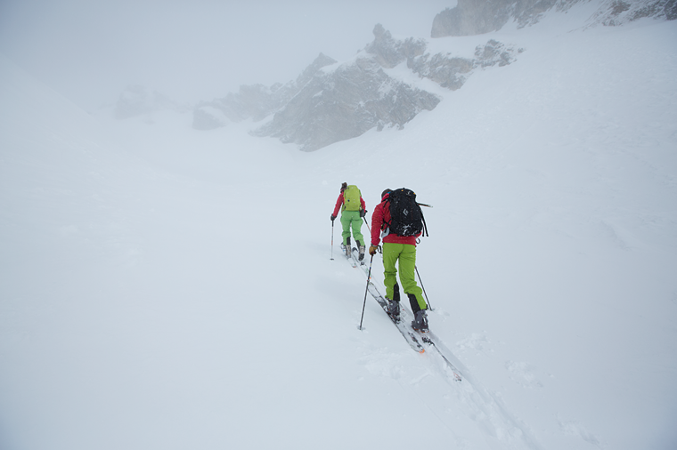
If there are no handrails to follow and the visibility is poor you will have to rely on your ability to follow a compass bearing. When you have the bearing dialled into your compass, look along the direction of travel arrow and see if you can spot any distinctive features on that line. You can then ski to a specific feature, then choose another feature and repeat. This will keep you moving in a straight line on your bearing.
If there are no obvious features, send someone out ahead in front of you and direct them so they are on the correct line. You can then ski to them and repeat. A much more efficient method is to move together with both of you following the compass bearing; the back person is checking the direction and can shout corrections.
On a glacier it is worth using your rope, as crevasses will be difficult to spot if the visibility is bad enough that you need these techniques.
You can look back along your tracks to check that you are travelling in a straight line, and you can also check this using a back bearing. To do this, instead of lining up the red arrow in your compass, spin it through 180° and use the white arrow. You can easily keep a check on your direction. When skinning this is pretty easy, but in descent you will be limited to a racing snowplough to keep things moving in a straight line.
When I am skiing, most of my position fixing is done by terrain interpretation. I am constantly looking at the mountains, choosing features and relating them to the map, then using them to pinpoint my position. If you make a habit of this it soon becomes second nature, so if the weather comes in you know where you are.